Tuesday, June 11, 2013

A thunder shower formed around Belmopan last night with rain between 0300 and 0500 hrs, measured 31 mm. There was also a larger area of showers in the southern part of Belize. Otherwise, the Caribbean basin itself is relatively dry.

Monday, June 10, 2013

The Caribbean side of Central America is relatively dry compared to the Pacific side. We are in a blocking pattern which is vaporizing any tropical waves moving westward off Africa. Not sure how long this is going to last. The solar storms on the sun have all died down so the sun has once again become very quiet. My prediction of a dry June for the Belmopan area of Belize still holds. Already 1/3 through June and have measured only 12 mm of rain.

Monday, June 3, 2013

Light rain last night, only 3mm from system moving SW to NE up the coast of Belize. The image on the right indicates the TPW ( potential for rain) the black band nearly follows the Monsoon trough. The solar wind yesterday reached over 750 km/s but this morning is down to 660 km/s. There looks to be drier weather headed this way. I am going to make a wild prediction that the rainfall for June could be less than the total for May.

Saturday, June 1, 2013

A large storm cell did develop. It formed in Mexico as shown in image. There was only some high cloud in Belmopan. The storm cell should disappear overnight.
Conditions appear favourable for some sort of weather development over Belize during the next few days. The Solar Wind has already begun to increase and has doubled in the past 36 hours. It is now up to 640 km/s, similar to last weekend. The surface circulation is CCW and there is a CW outflow above this. The wind shear is much lower compared to last weekend. All this adds up to something brewing in the atmosphere.

Wednesday, May 29, 2013

TS Barbara weakening. Over Belize just high cloud (altostratus) with a few drops of rain. Weather in the Caribbean much quieter than 4 days ago.

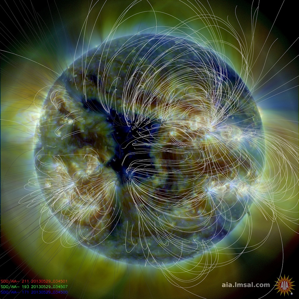
CORONAL HOLE: A hole in the sun's atmosphere--a "coronal hole"--has opened up and it is spewing solar wind into space.
Coronal holes are places where the sun's magnetic field spreads apart and allows solar wind to escape. A windy stream of plasma flowing from this particular hole should reach Earth on June 2-3.
Lets see if this has any affect on the weather when this event hits us.
Unusual weather situation. The motion of these systems is from the southwest to the east / northeast. This means the storm off the south Mexico coast is moving towards the coast. Wonder how far inland it will move.

Tuesday, May 28, 2013

The storm cell mentioned last night moved northward inside the coast of Belize dumping a lot rain in the process. Here in Belmopan I measured 69 mm or 2.7 inches of rain. The total rain for May now is 8.5 inches or 217 mm. The weather conditions over the past 3 days has been very complex. Development was rapid and coincided with the rapid increase of the Solar Wind and Electron Storm. Not sure if there was a connection.

Monday, May 27, 2013

Storm moving into the Toledo area. May cause some local flooding. Here in Belmopan I have measured about 88 mm of rainfall in past 24 hours. Solar Wind speed right now is a remarkable 777 km/sec but not sure how this is affecting the weather here. Strange weather, this low level surface rain is trapped under a Upper Level High Pressure off the coast of Honduras.